National Broadband Map
by SilverStripe
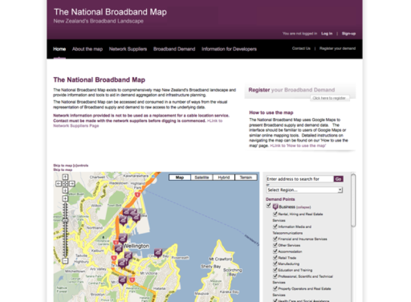
Site purpose
The State Services Commission (SSC) built the National Broadband Map to provide a clear view New Zealand's broadband landscape.
The map shows the gaps between demand for high-speed broadband and its current availability from telecommunications service providers, which helps demand aggregation and infrastructure planning.
What we did
- We built a mapping system based on Google Maps which displays demand for broadband by geographic location.
- We pulled in data from telecommunications service providers to show current availability of high-speed internet.
- We built a rich web application that is also accessible and e-government compliant.
- We created RESTful and SOAP APIs so that other website developers can have programmatic access to the map data.
What users can do now
- Users can use the visual representation of the map to access the data from the National Broadband Map.
- Users can add their own demand data to the map when they register to the site.
- Users and other project developers have access to the underlying raw data via open APIs.
Launched
- 1 January 2008
Sector
- Government
Work
- Web Development
Other projects
The Hub by Superu
by SilverStripe
Enable
by SilverStripe

Census 2018
by SilverStripe

Paymark
by SilverStripe

Environmental Protection Authority
by SilverStripe

Firstport
by SilverStripe
Community Matters
by SilverStripe

Meridian Power Trip
by SilverStripe

IRD Media Site
by SilverStripe

Te Auaha
by SilverStripe

Whitireia New Zealand
by SilverStripe

Time to Screen
by SilverStripe

Health Quality & Safety Commission
by SilverStripe

Summer KiwiSaver scheme
by SilverStripe

Consumer Protection
by SilverStripe
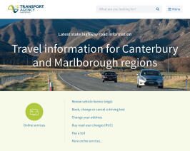
The NZ Transport Agency
by SilverStripe
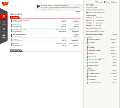
Westpac One Online Banking
by SilverStripe

Skinny Mobile: Hosting & Support
by SilverStripe

Skinny Mobile: Web Development
by SilverStripe

Westpac
by SilverStripe

Nelson Marlborough Institute of Technology
by SilverStripe
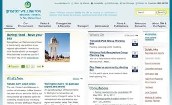
Greater Wellington Regional Council
by SilverStripe
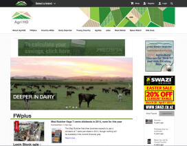
NZX Agri
by SilverStripe
YHA New Zealand
by SilverStripe

Plunket
by SilverStripe
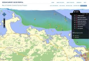
Ocean Survey 20/20 Project
by SilverStripe
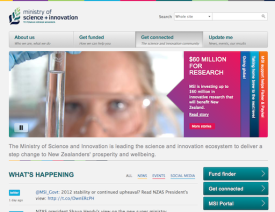
The Ministry of Science and Innovation
by SilverStripe